Geospatial Data Storage, Analysis, and Visualization
Manage, analyze, and visualize your GIS assets in one place — a cloud-native platform designed for simplicity, speed, and effortless sharing of insights

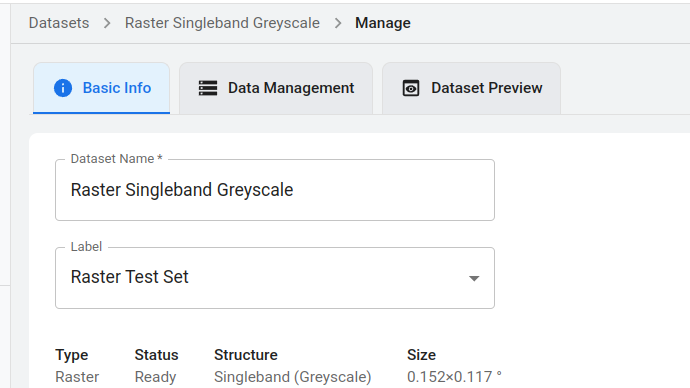
Efficient Storage
GeoForm uses AWS S3 as its backend for geospatial asset management, offering cheap, reliable, and fast data storage that can also be accessed directly—bypassing the platform if needed. We’re currently evaluating integration with AWS S3 Glacier, which should drive the storage prices to record-low levels.
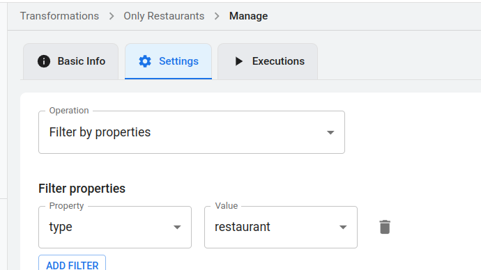
Easy Transformations
GeoForm uses Turf for vector transformations and GDAL for raster transformations—functionality available in just a few clicks, without extra data-management hassle. Transformations operate directly on platform-managed assets and save results as clearly labeled datasets, ready for further work.
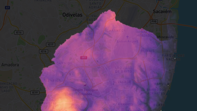
Instant Visualization
All datasets managed in the platform are immediately available for visualization—from quick previews to advanced visualization using vector and raster styling. Styles are applied via Layers to Maps, the primary vehicle for visualization in the Platform and for sharing externally as Widgets.
Programmatic Access
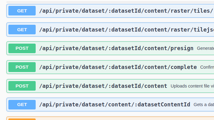
All platform capabilities—import/export, transformations, styling, visualization, and external sharing—are available via a RESTful API, making it easy to support one-off custom workflows or integrate with external systems where geospatial data asset management isn’t the core focus.